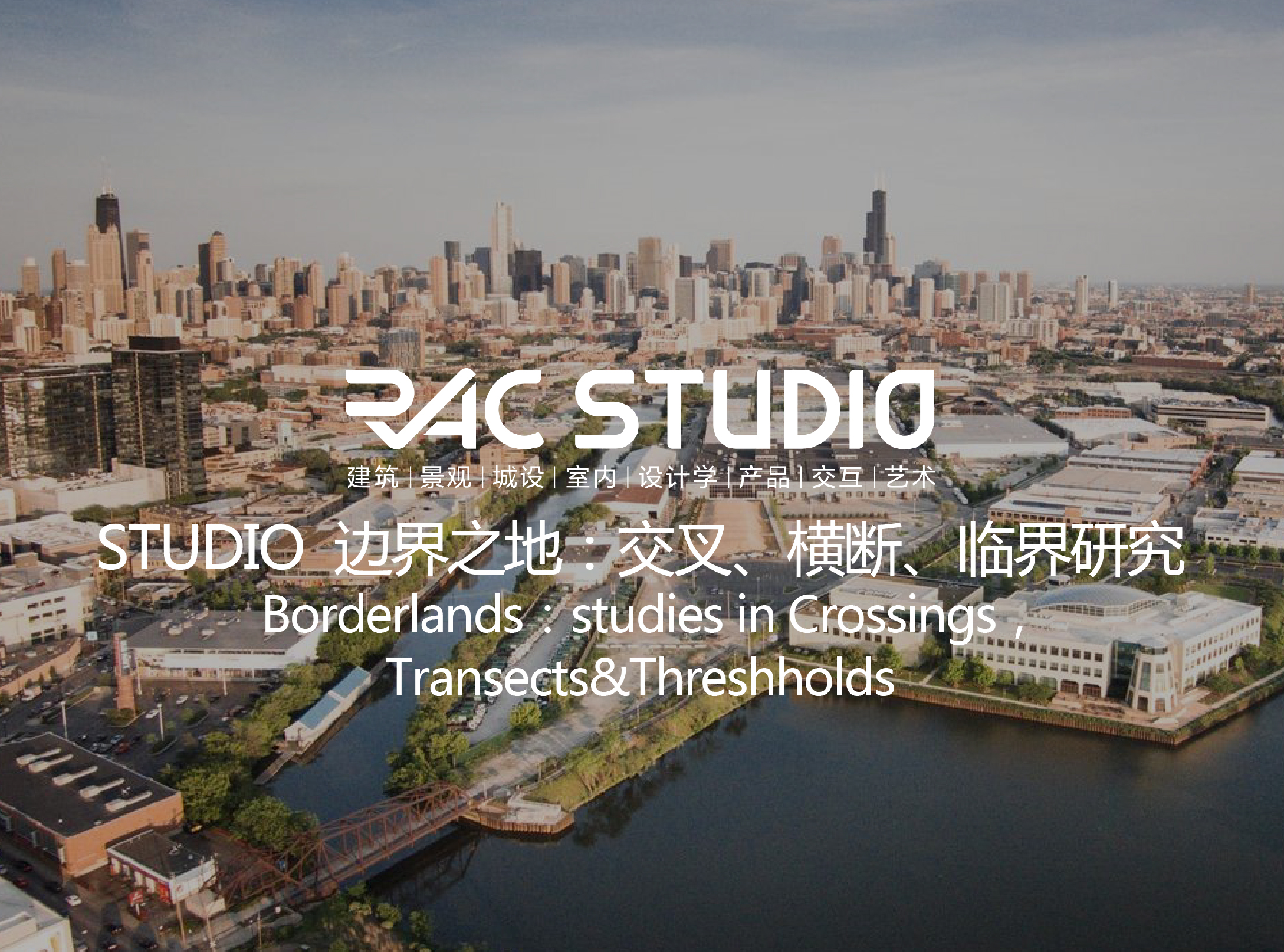
2020 Studio 边界之地:交叉、横断、临界研究
授课方式 | 上海线下/线上课程类别 | 城市化,适合申请景观和偏城设方向的同学选课项目尺度 | 大、中、小尺度皆可,根据学生对borderland的界定以及研究方向课前准备 | 课程开课前熟悉Photoshop、Illustrator、Indesign、Rhino的操作应用,了解通过这些软件做图的基本方法。授课时间 | 2020年1月10-21日(春节前),2月4-16日(春节后暂定)Studio人数 | 6-12人注:未签约学员咨询报名前咨询客服主页菌; 已经签约RAC学员可用课时兑换引言:“Borders run across land but through people. On maps they appear as fine one-dimensional lines, whereas on the ground they have many dimensions. “Zartman,I. (2010). INTRODUCTION.: Identity, Movement, and Response. In ZARTMAN I.(Ed.), Understanding Life in the Borderlands: Boundaries in Depth and in Motion (pp. 1-18). University of Georgia Press.Studio背景:Modern metropolis, such as Chicago, St. Louis and Philadelphia, serve as vast temporal,spatial, social, and intellectual crossroads. They represent myriad values of social capital, international cooperation, and human potential ---- as well as limits, boundaries, isolation, and exclusion. Cities function as landscape laboratories in which these and other, perhaps hidden, values are manifested. Figure 1: Chicago Child Opportunity Index. Figure 2: Chicago Average Individual Income Index. Source: Kirwan Institute and Brandeis University, 2014 Source: U.S.Census Bureau, American Community Survey, 2016Studio场地位置:伊利诺伊州芝加哥 Chicago,IL场地背景:The original of the plan of Chicago can be traced directly to the World’s Columbian Exposition. In creating the ideal arrangement, everyone who lives here is better accommodated in his business and his social activities. Nowadays, the people of Chicago have ceased to be impressed by rapid growth or the great sizeof the city. What they insist asking now is. How are we living? Is the city a convenient place for cultural exchange of different races? Will the coming generation be able to stand the nervous strain of the fast-paced city life? If the city does not become better as it becomes bigger, shall not the defect be remedied? These are questions that will not be brushed aside. They are the most pressing questions of our day, and everywhere men are anxiously seeking the answers.We, as landscape designers, are also responsible to answer these questions in our way. In this studio, student teams will choose their BORDERLAND sites from conditions located anywhere within Chicago, discussing the contradictions that arouse these problems. For project purposes, Chicago is approximately bounded as below (Figure 3) ---- see aerial. Figure 3: Chicago Loop in satellite view.Source: Google maps Figure 4: Columbia College Chicago&Figure 5: Space under Highway in Chicago Figure 6: Chicago Birdseye ViewStudio目的:In this studio, we examine Chicago landscape by looking through the particular lens of BORDERLANDS. Students’ investigations of situated form and place will transcend the merely visible and, instead, record the often-invisible flows and vectors that create borders in the first place. This conceptual design project is not about formal analysis ---- instead, it treats borders in every possible manifestation as indices of global social, intellectual, and ecological processes.手法与媒介:1. 背景研究和分析(Background and Problem Statement)Data collection, report collection, documents reading: objectively, accurately and authentically understand the international and regional background of Chicago, the current situation of Chicago and its potential. Define BORDERLAND.2. 场地调研和分析(Inventory and Analysis)Within the background of Chicago discussed in the problem statement, analysis the specific problem of the site. Emphasize multivariate relationships occurring in the borderland.3. 概念设计、提出应对方案(Conceptual Design)Design interactions, experiences, processes and strategies based on the pre-phased analysis.4. 设计表达(Design Expression)Use mapping, collage, toolbox, plan, model, etc. to express design in landscape method.Studio成果:- Construct a thinking system for complex social and environmental problems.- Solve complex problems with landscape language.1. Mapping/ Collage/Data Visualization2. Prototype Design/Typology/Toolbox3. Plan/ Sections4. Scenario/ Axonometric5. Renderings6. ModelFigure 7: Chicago Riverwalk. Source: Sasaki Figure 8: Chicago River Edge Project. Source:Studio Gang Figure 9:The High Line, NYC: Sectional View. Source: James Corner Figure 10: PROGETTO PER LA DORSALE TRANVIARIA DI ROMA EST. Source: Lorenzo CatenaFigure 11: PROGETTO PER LA DORSALE TRANVIARIA DI ROMA EST. Source: Lorenzo Catena参考案例: 1. The High Line ---- by James Corner Field Operations (Project Lead), Diller Scofidio + Renfro, and Piet Oudolf2. Chicago Riverwalk ---- by Sasaki3. A Perpetual Pride ---- by Luke Whitaker4. PROGETTO PER LA DORSALE TRANVIARIA DI ROMA EST ---- by Lorenzo Catena参考书目:1. Jacobs, J. (2016). The Death and Life of Great American Cities. New York, NY: Vintage.2. Müller, S., Quednau, A., Christiaanse, K., SMAQ, & Misselwitz, P. (2012). Charter of Dubai: A Manifesto of Critical Urban Transformation. Jovis.3. Prominski, M., Stokman, A., Stimberg, D., Voermanek, H., & Zeller, S. (2012). River.Space.Design: Planning Strategies, Methods and Projects for Urban Rivers. Berlin, Germany: Walter de Gruyter.4. Smith, C. (2009). The Plan of Chicago: Daniel Burnham and the Remaking of the American City. Chicago, IL: University of Chicago Press.