地图是时间旅行的辅助工具:想象“我要去哪里?”回想“我去了哪里?”地图为我们的景观心理模型提供信息,并记录下可以实时提取的记忆,回忆旅行的足迹。
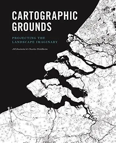
《Cartographic Grounds: Projecting the Landscape Imaginary》
▎书籍简介
Mapping has been one of the most fertile areas of exploration for architecture and landscape in the past few decades. While documenting this shift in representation from the material and physical description toward the dpiction of the unseen and often immaterial, Cartographic Grounds takes a critical view toward the current use of data mapping and visualization and calls for a return to traditional cartographic to reimagine the manifestation and manipulation of the ground itself.
在过去的几十年中,制图一直是建筑和景观探索中最丰富的领域之一。在记录从物质和物理描述到看不见且通常不重要的dpiction的转换过程中,制图基础对当前使用的数据映射和可视化持批判性看法,并呼吁回归传统制图以重现表现和操纵地面本身。
5、land classi cation,
6、figure-ground,
7、stratigraphic column,
8、cross-section,
9、line symbol,
10、conventional sign
and illustrates it through beautiful maps and plans from notable designers and cartographers throughout history, from Leonardo da Vinci to James Corner Field Operations.
书籍的每一章都集中于一种制图技术:
探测/现场标高,等压线/等高线,山丘/舱口,阴影浮雕,土地分类,地势图,地层柱,横截面,线符号,常规符号
并通过著名设计师和制图师从莱昂纳多·达·芬奇到詹姆斯·科纳的精美地图和计划进行说明。
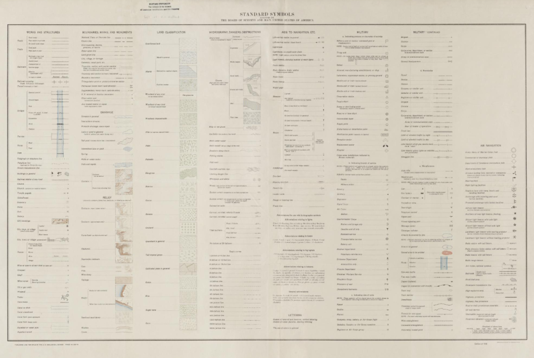
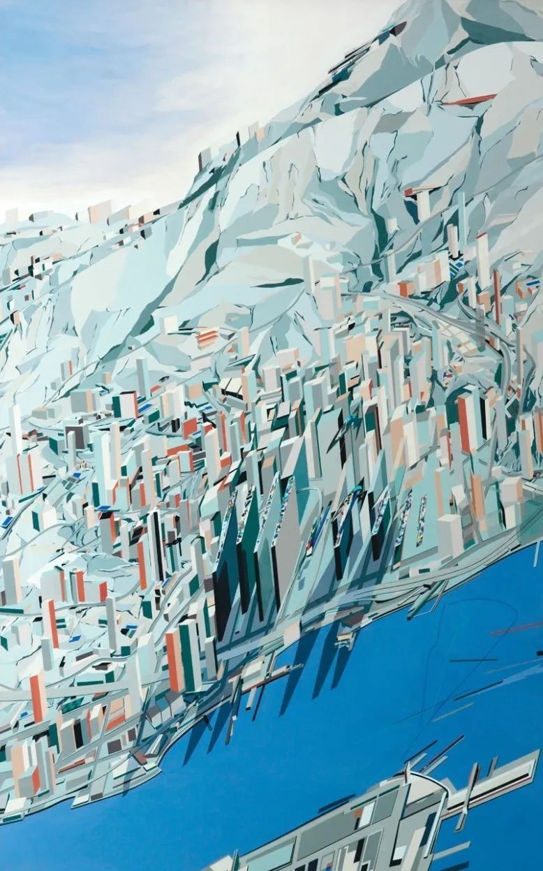

©《Cartographic Grounds: Projecting the Landscape Imaginary》
▎作者简介
1、Jill Desimini